Confidently apply crop protectants according to label requirements by knowing the current weather conditions including wind speed, wind direction, and humidity.
Improve recordkeeping and compliance reporting by documenting weather conditions during application
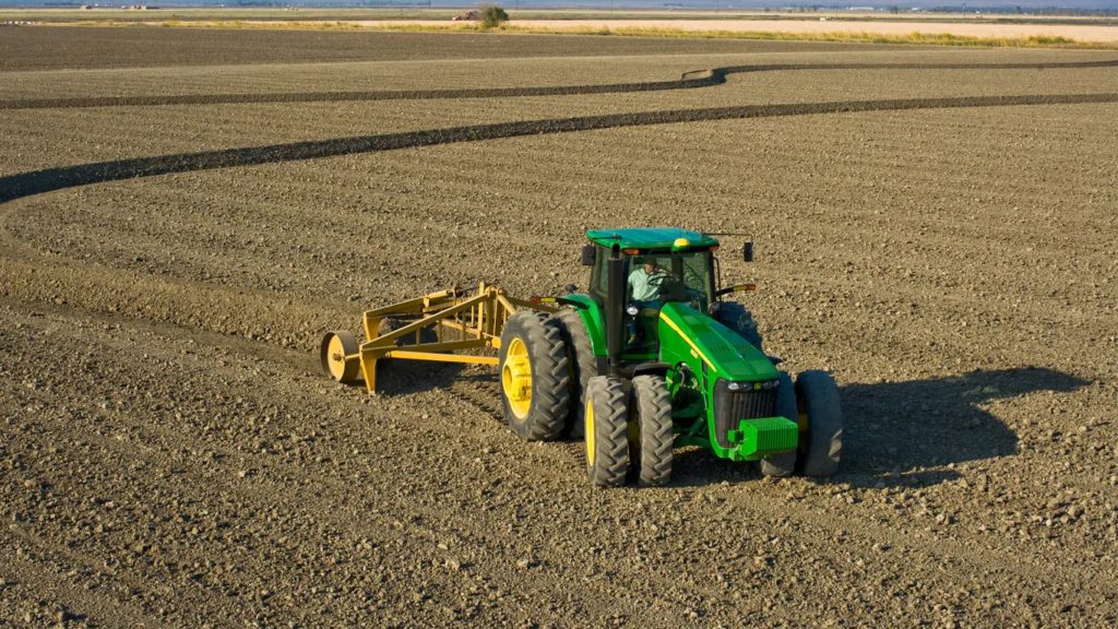
Map subtle changes in elevation across the field in Survey Mode. Use this data to create ditches to enhance field drainage and maintain crop yield
Prevent crop loss due to drowning by creating ditches in the field using either a linear drain profile or a “best-fit” drain profile
Create field levees by following the calculated levee tracks based upon elevation survey data and using AutoTrac in subsequent passes to create parallel levees